
Marienweg stage Payerbach - Schwarzau i. Gebirge
Marienweg stage Payerbach - Schwarzau i. Gebirge
Hiking tour Starting from Payerbach
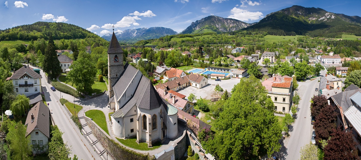
This stage of the Lower Austrian Marian Way runs from Payerbach via Reichenau, Hirschwang and Kaiserbrunn to Schwarzau im Gebirge.
- Starting point of the tour
- Payerbach
- Tour destination
- Schwarzau in the Mountains
- Fitness level required:3/6
- Overall experience:5/6
- Scenery:5/6
- Lowest point
- 472 m
- Highest point
- 611 m
This stage of the Lower Austrian Marian Way runs from Payerbach via Reichenau, Hirschwang and Kaiserbrunn to Schwarzau im Gebirge.
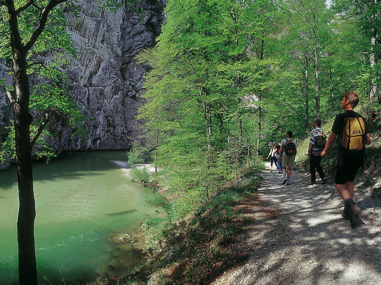
The route leads through the Schwarza Valley to Reichenau, one of the historic summer resorts of the 19th century. Numerous villas along the way bear witness to this era. The trail continues to Hirschwang, where you’ll pass the valley station of the Rax Areal Ropeway, which has been transporting visitors to the Rax Plateau since 1926. From there, follow the“Wasserleitungsweg” through the Höllental Valley to Kaiserbrunn. From here, the“Höllental River Trail” continues on to the Weichtalhaus. Following the road, you’ll eventually reach Schwarzau im Gebirge, where several Mariazell trails converge. Due to traffic, it’s strongly recommended that you take the bus or RUFbus for the section from Weichtalhaus to Schwarzau!
We want your hikes in the Vienna Alps to be an enjoyable and safe experience in every way. Therefore, please note the following:
Preparation
When choosing a route, make sure it matches your experience and fitness level. Check the weather forecast in advance. The weather in the mountains can change surprisingly quickly. Therefore, always set out with the appropriate gear (e.g., rain gear).
Check to see if the huts and snack bars you plan to visit along the way are open. Let someone know your route and your planned return time before you set out.
Always bring appropriate maps with you. Wear sturdy shoes suitable for the hike, and bring sun and rain protection, as well as water and a light snack. Bring your cell phone and save the mountain rescue emergency number: 140
From the town center in Payerbach, we walk west along Dr.-Eduard-Coumont-Straße, following the Schwarza River. We turn right and cross the main street to continue walking along the Schwarza. Passing Reichenau Castle, we turn right onto Haabergstraße and follow the path along the railroad tracks next to the river. At the end of the path, we turn left, cross the tracks, pass the Remiese, and continue onto Hans-Beran-Straße. We walk along this street to the Raxbräu; here, we turn right and follow the B27. After passing the sawmill, we turn right over the bridge at the weir. We now walk along the 1st Vienna Aqueduct Trail to Kaiserbrunn. From here, the Höllental River Hiking Trailcontinues to the Weichtalhaus. Following the road, you’ll eventually reach Schwarzau im Gebirge, where several Mariazell trails converge. Due to traffic, it’s strongly recommended that you take the bus or the RUFbus for the section from Weichtalhaus to Schwarzau!
Park and Ride facility near the station Payerbach-Reichenau.
From Vienna, take the South Motorway A2 onto the S6 Semmering expressway and take the Gloggnitz exit. Follow B27 to Payerbach.
From Graz, take the S35 or A2 onto the S6 Semmering expressway and take the Gloggnitz exit. Follow B27 to Payerbach.
Take the regional train bound for Payerbach-Reichenau from Vienna via Wiener Neustadt to the final stop.
For more information, visit www.oebb.at or www.vor.at
RUFbus stops:
- PB7 Payerbach Outdoor Pool
- RE47 Reichenau Theater
- RE37 Reichenau Castle
- RE24 Höllentalbahn/Hirschwang Station
- RE23 Raxbräu
- RE26 Rax Cable Car
- RE27 Kaiserbrunn
- RE28 Weichtalhaus
- SW3 Großes Höllental
- SW1 Großer Kesselgraben
- SW2 Kreuztal Parking Lot
- SW4 Singerin
- (SW7 Falkenstein Nature Park)
From Kaiserbrunn, the route runs on a heavily used federal road. Special caution is advised here. We recommend taking the bus on this section!
Recommended period
J
F
M
A
M
J
J
A
S
O
N
D
Leider können wir Ihnen zum jetzigen Zeitpunkt keine Wetterdaten für den Ort anzeigen.
Vienna Alps in Lower Austria, www.wieneralpen.at, +43 / 2622 / 78960
Letzte Änderung: 25 Aug 2026